Route
This is a point-to-point route shaped by the ocean, that links Jersey’s coastline and six landmarks. The exact feel of the day will depend on conditions.
Route Overview
Distance
Approx. 24.7 km
Elevation Gain
Approx. 20 m
Terrain
Mixed, with intertidal sections during the low-tide window
Navigation
You are expected to follow the route guidance and make safe decisions based on conditions
Interactive Map
GPX Data
GPX is guidance only. Always prioritise safety and race-day instruction.
The Start
Set off beneath the iconic Gorey Castle, with the bay opening out ahead — a dramatic start where the tide helps shape your first decisions.
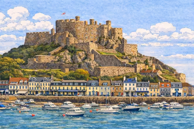
Gorey
What to expect
Open bay / quick line choice
Watch for
Mixed footing / runnels & channels / tide timing
Required Landmarks
The six essential waypoints you must visit.
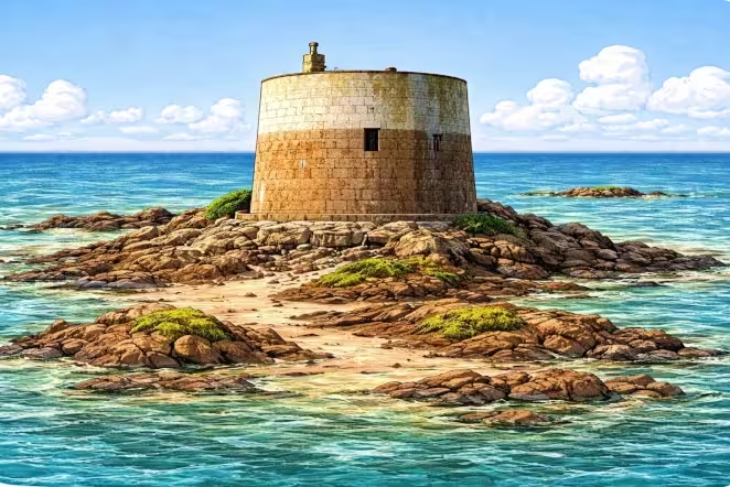
1. Seymour Tower
What to expect
Large expanses of open sand and rock.
Watch for
Slippery rock / soft sand / water channels
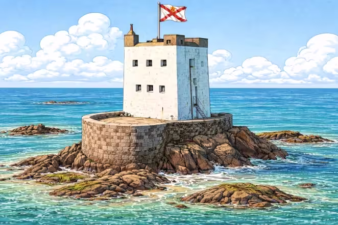
2. Icho Tower
What to expect
Solitary positioning with a focus on line choice.
Watch for
Rock shelves / wave splash
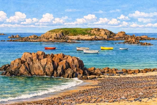
3. Green Island
What to expect
Transitioning back towards the coastline.
Watch for
Busier sections / promenade transitions
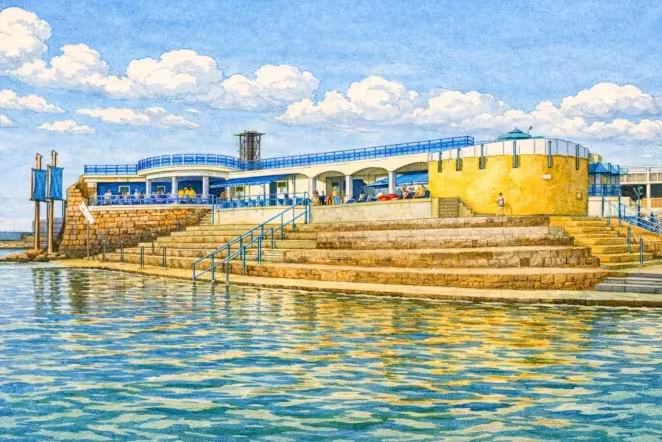
4. Havre des Pas
What to expect
Brief return to urban surroundings.
Watch for
Crossings / pedestrians
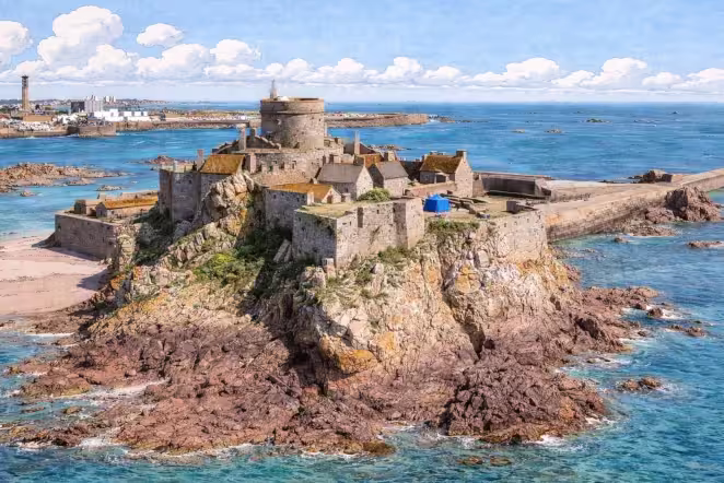
5. Elizabeth Castle
What to expect
The iconic causeway crossing.
Watch for
Causeway conditions / surface changes
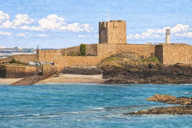
6. St Aubin's Fort
What to expect
The final coastal target before the finish.
Watch for
Fatigue decisions / final footing
Tide-Dependent Areas
Safety Warning
Some parts of the foreshore may become unsafe or impassable as the tide turns. If you are uncertain at any point, choose the conservative option and retreat.
Safety and Kit Guidance